I am way behind on updates from our 101 trip…sorry but we are having so much fun that its been hard to find the time to write. Don’t hate me because I’m honest, okay???

Monterey was on the 101 agenda as a great base camp to check out the area. We had been there many moons ago but never really explored north of the city of Monterey. When I was looking for a place to base camp in the area, the Laguna Seca Raceway campground came up. It is in the perfect location close to Monterey, high up in the hills with killer views over looking the valley and had partial hookups (water and electric but no sewer hookup). Sounded good plus there were no big events going on so it would be relatively quiet.

I was intrigued by the raceway as Wally had told me loads of stories about his batchelor days and going to Laguna Seca with the guys for the races and camping. After some further research, I knew we had to go up a very steep hill to get to the campground and got the feeling it would be rustic. No deal breakers so I booked us for four nights.
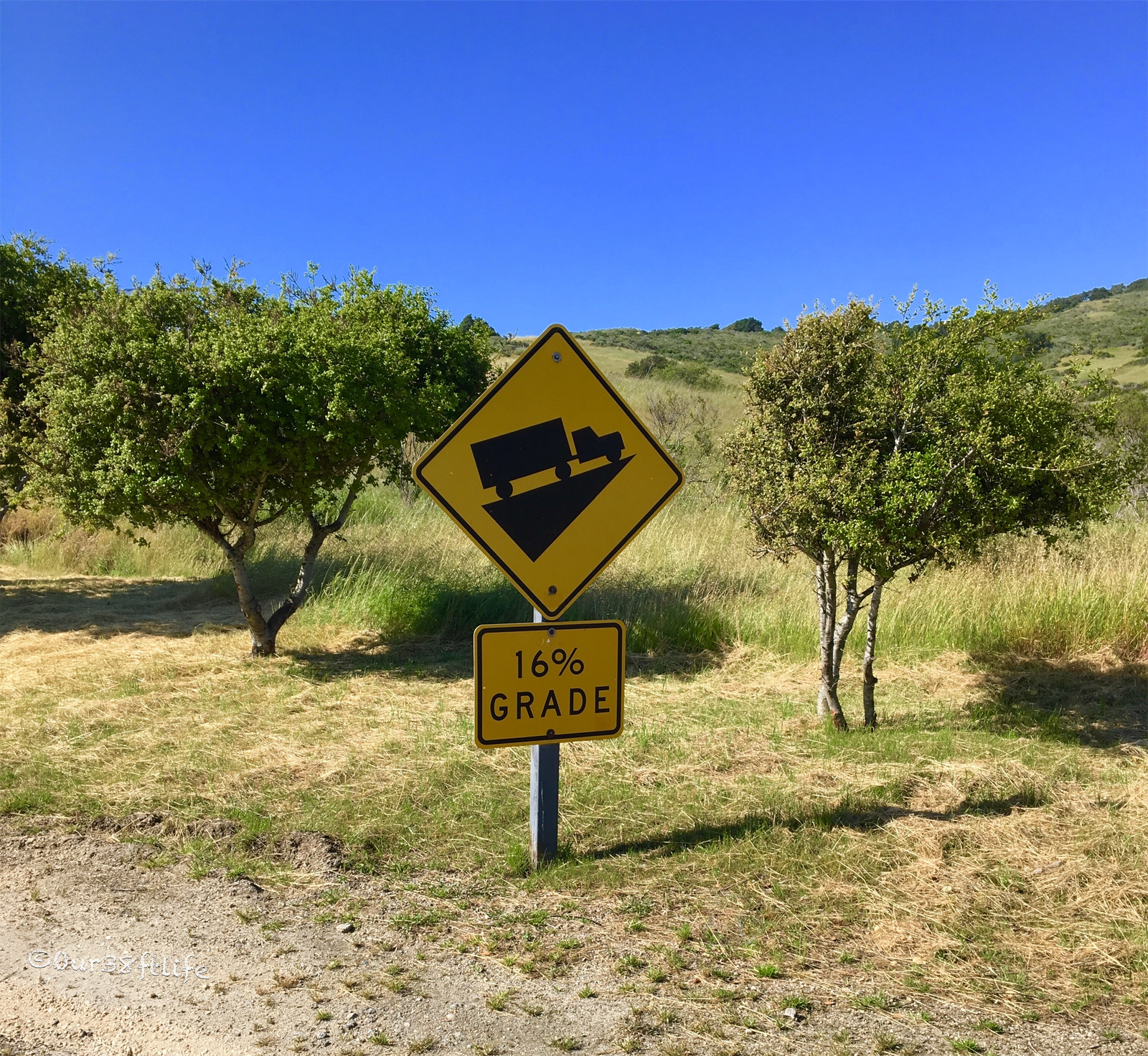
Boy howdy was the road steep, we crawled up the 16% grade like a snail. Yes, the campground is very rustic, not much care or upgrades happening here. Our original campsite was a mess, also on a steep hill and the front of the driveway was so rutted that I knew we would bottom out the coach trying to back in. Luckily, the very nice camp host found us a different site further up the hill. It didn’t have much usable outdoor space but the views were killer…did I mention that the water isn’t potable??? High arsenic levels…thankfully I knew that ahead of time so we went into the site with a full tank of water. After the very busy, kid filled “RV Resort” in Buellton, rustic was just fine as was the peace and quiet!!!
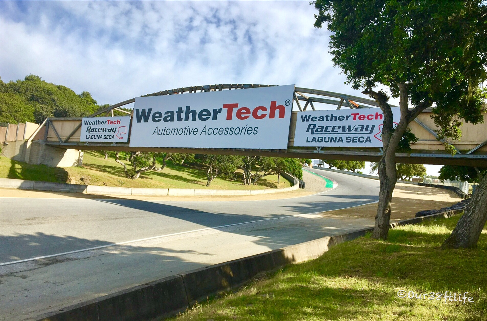
WeatherTech Raceway Laguna Seca is an 11-turn, 2.238-mile jewel of a road course on California’s beautiful central coast. While the track is a favorite of racers and fans worldwide, many focus on one specific section—officially Turns 8 and 8A—or more commonly known as The Corkscrew.
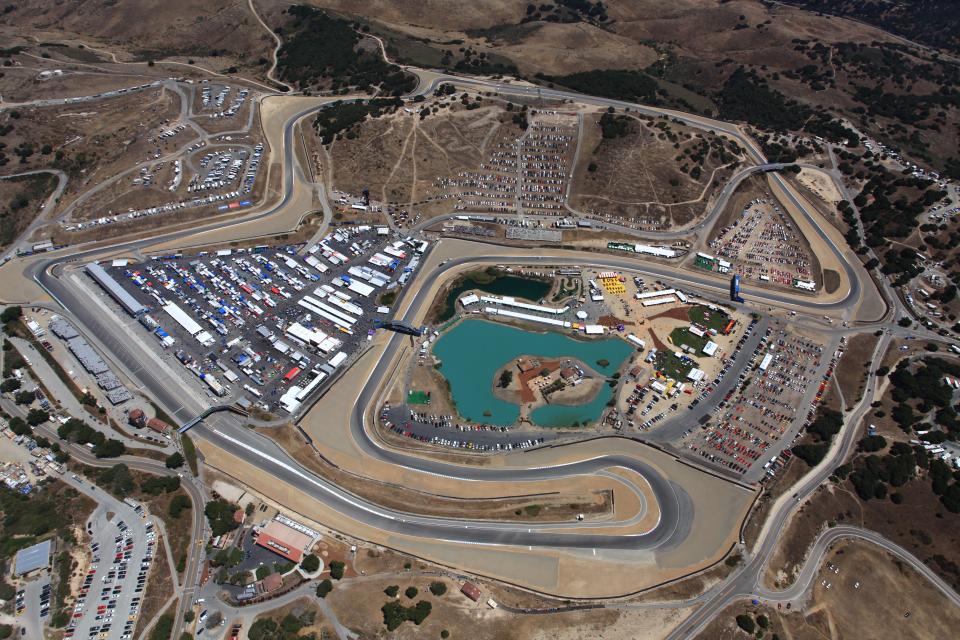
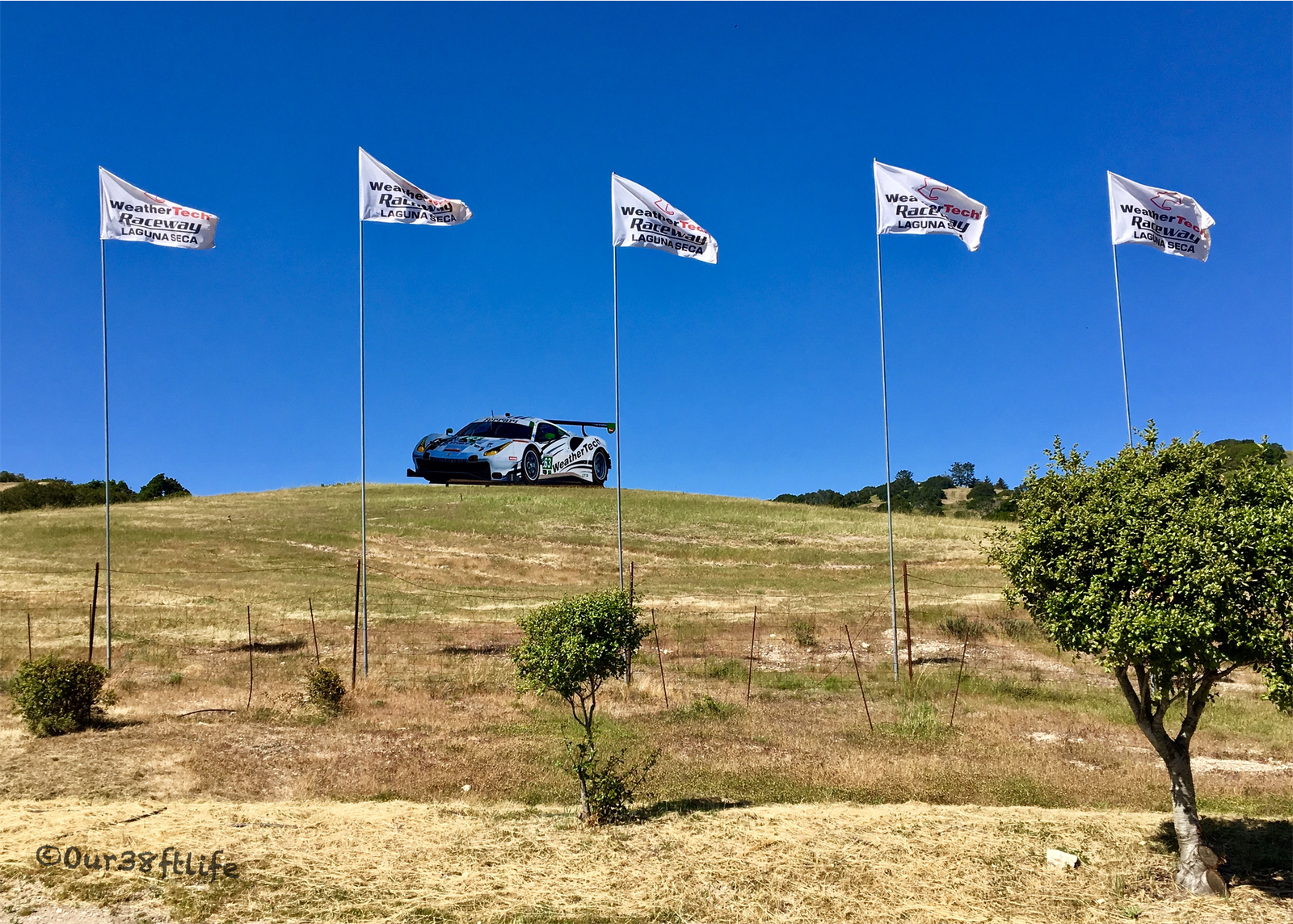
I had to see this famous one-of-a-kind turn so after getting set up in our “rustic” site, we hiked around the raceway after watching some practice driving being done. Here’s what makes the hard-left, hard-right combination so spectacular according to the raceway website:
“At the apex to Turn 8 (the lefthander and entry to The Corkscrew), the elevation change is a 12 percent drop. By the time a race car reaches the apex of Turn 8A (the righthander), the elevation is at its steepest – an 18 percent drop. The Corkscrew drops 59 feet between the entrance of Turn 8 to the exit of Turn 8A—the equivalent of a 5½ story drop—in only 450 feet of track length. From Turn 8 to Turn 9, the elevation falls 109 feet, or just over 10 stories.”
Holy crap, after reading this and seeing it with my own eyes I was really wishing there were some races going on. We inquired about any opportunities to tour or get on the track but unless you are paying big bucks for a driving class or are part of a racing club but we got a black flag which means no go!
We spent the next four days exploring up and down Hwy 1 in the car. Killer hikes, great view points, amazing restaurants, quirky coffee shops and loads of fresh produce that was being grown in the Salinas area made this a wonderful area to explore. Other than some windy days, the weather was spectacular and the Monterey area did not disappoint.
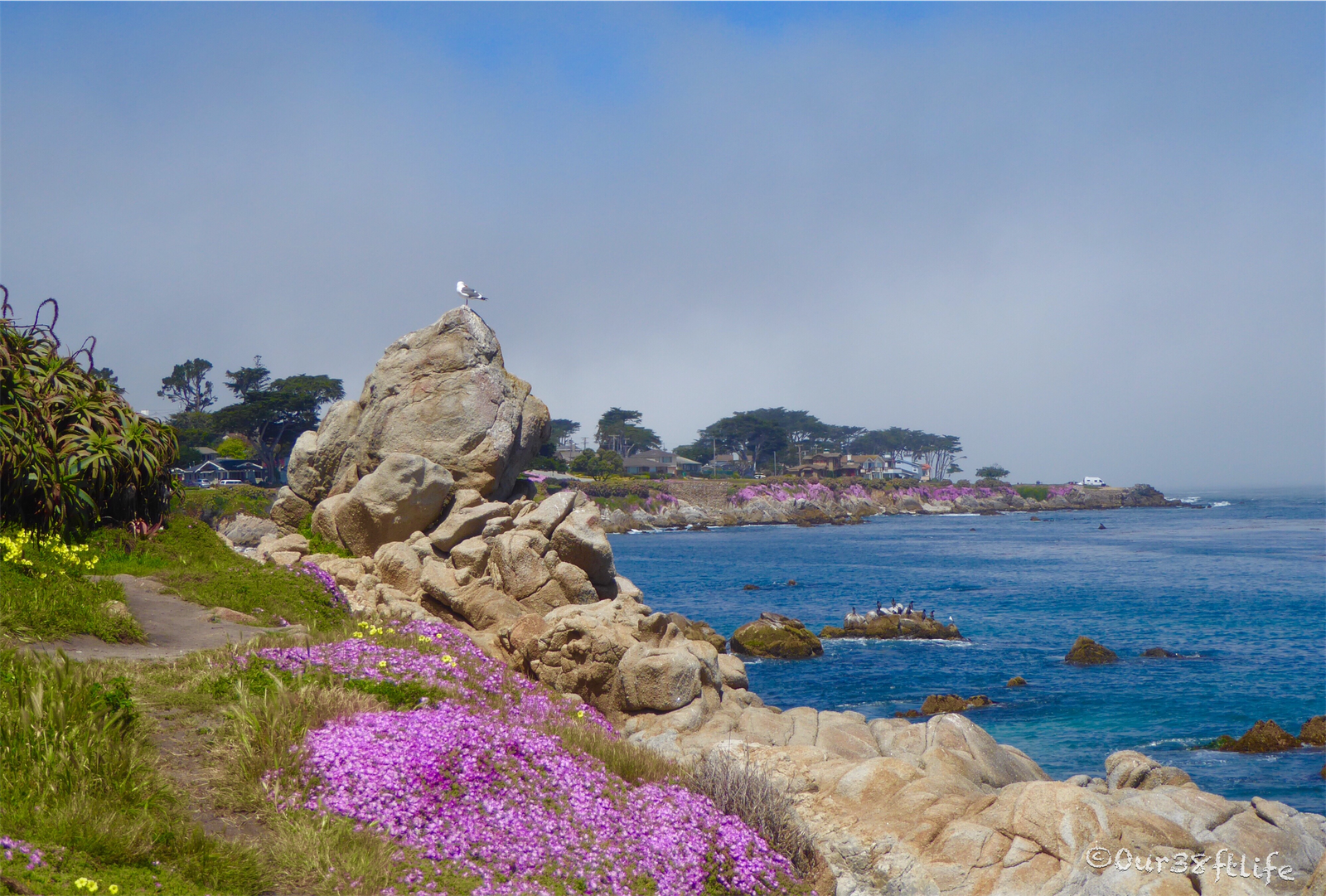
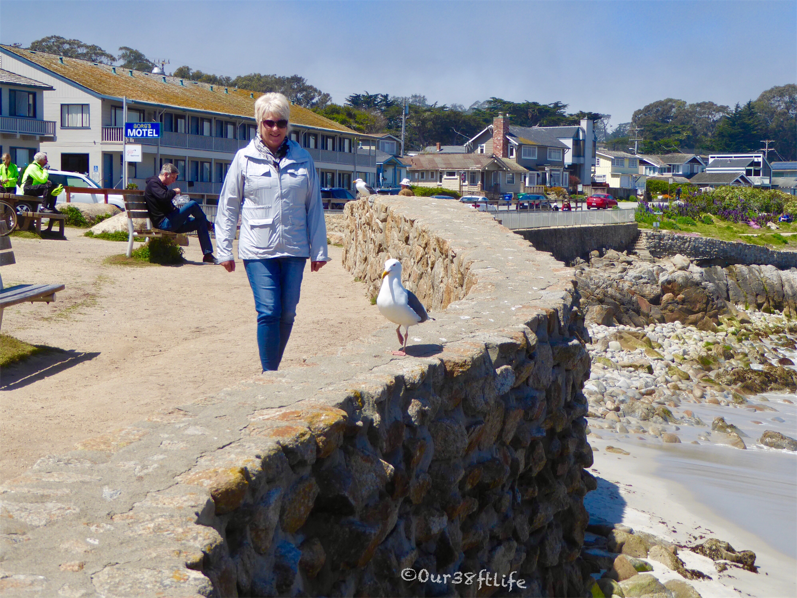
We fell in love with the small city of Pacific Grove, it hit all the markers for us on the potential places to live except affordability. The average house price is $1.1M…eeekkkk! Check out this cute place…only $849K but it has been remodeled!
This area has such charm and a great waterfront park with a 6.2 mile oceanside walking path. We had a great dinner at Passion Fish and loved the walking trail.


Our two favorite hikes were both along the ocean cliffs with not only great views but some fun sealife too. The 7,000 acre Wilder Ranch State Park has several hiking options along with some neat old California ranching history. We did the Old Cove Landing Trail. This easy 3 mile hike follows the ocean to the scenic overlook above Wilder Beach which is a snowy plover preserve. Just beyond, you’ll find Old Cove Landing, where schooners anchored in the 1800s. Continue along the coast on the Ohlone Bluff Trail to post 8, where there’s a spur trail leading to Fern Grotto Beach. A quarter mile beyond the spur trail is Sand Plant Beach. From there, head downhill over the railroad track and back to the parking lot. So much to see along the way.


For more cliffside ocean views and hiking, a drive along HWY 1 to Big Sur is just the ticket. Wild and scenic, Hwy 1 is not big coach friendly but traveling in a car is just fine.


Pfeiffer Beach in the Big Sur area is definitely off the beaten path, but well worth the drive. Just south of Big Sur Station on Highway 1 is unsigned Sycamore Canyon Road which winds its way down to the shore. The two-mile long road is paved, but it is twisty and narrow so RV’s and trailers are not allowed (look for the yellow “Narrow Road” sign at the turn-off). Oh, and there many be a few water crossings!

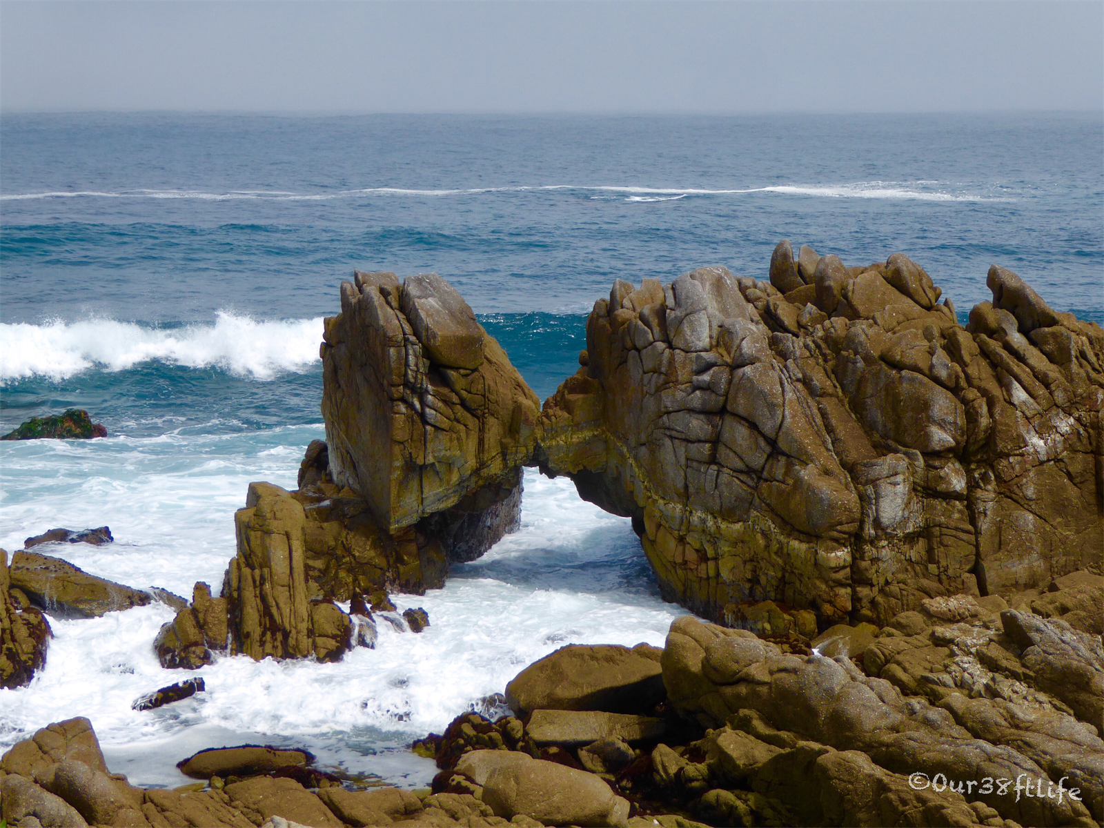
From the parking area you have a short walk down to the beach. At this location Sycamore Canyon Creek empties into the Pacific and a rocky point protects some of the sand at the cove. Waves crash hard all around and the beach north of here invites exploration at lower tides. Tide pools can be found here at low tide too. The focal point of the beach is Keyhole Rock which has an amazing natural arch at the base where salt water, and even the last rays of daylight, can pass through. This beach is beautiful at sunset and frequently professionally photographed. It was incredibly windy the day we were there and the waves were huge making the beach a bit scary and awesome at the same time.

The noise in the video is the wind…no picnic on the beach that day. The waves coming on both sides of these rocks were huge…no good pics unfortunately.
Loved this part of California and our 5 days there went way to quickly. Next stop…Cloverdale CA for some more wine tasting!!!


Wow, what beautiful countryside … no surprise R/E is pricey. 16% grade – that’s a serious hill for an RV. Look forward to hearing about the rest of your journey north.
LikeLike