Scenic Byway 12 spans a route of 124 miles, and travels through some of the most diverse, remote and ruggedly beautiful landscapes in the country. It is home to two national parks, three state parks, a national recreation area, a national monument, and a national forest and damn fine restaurant that is worth the trip for lunch or dinner alone!
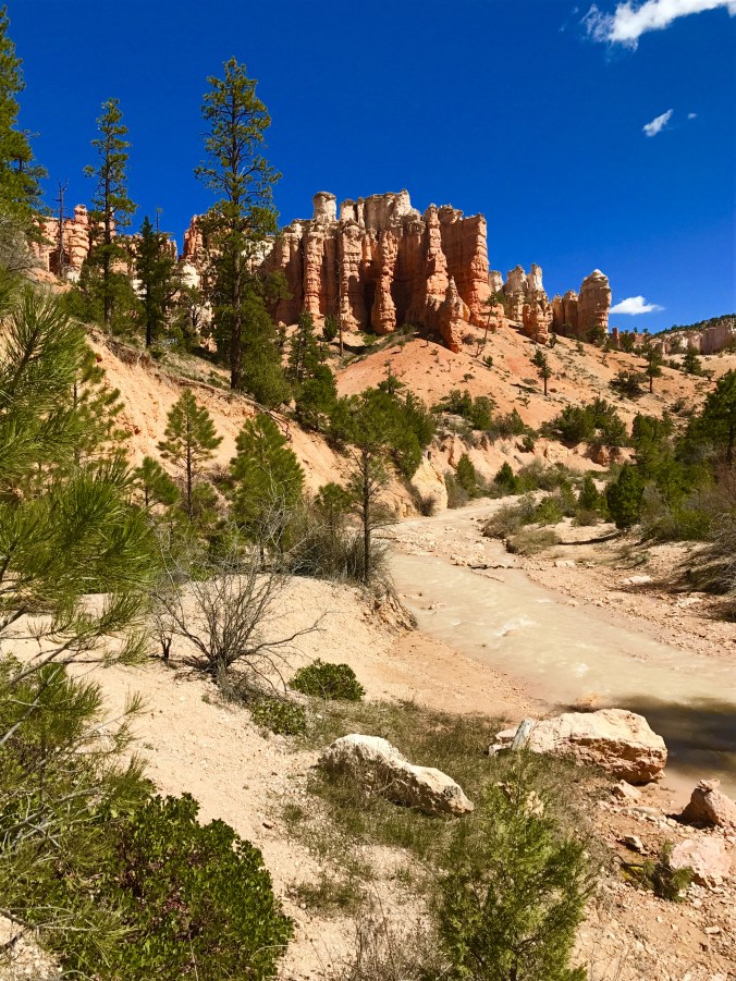
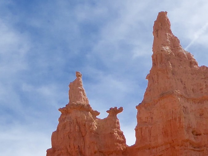
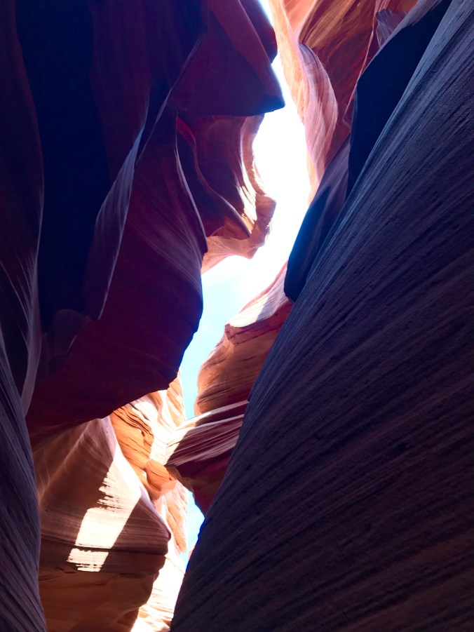
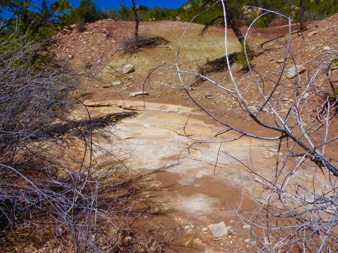
Mossy Cave hike just outside Bryce Caynon on Scenic Byway 12
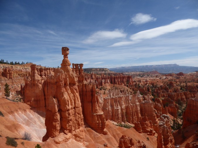
For all you motorcycle enthusiasts …Marsha Crest and David Lytle, this is a dream ride, bucket list material really! Even traveling in a car like we were, still bucket list worthy! Along the way you will also discover that Scenic Byway 12 takes you through memorable landscapes, ranging from the remains of ancient sea beds to one of the world’s highest alpine forests, and from astonishing pink and russet stone turrets to open sagebrush flats. If you are lucky, like we were, you might see deer, elk, wild turkeys, golden eagles and turkey vultures.
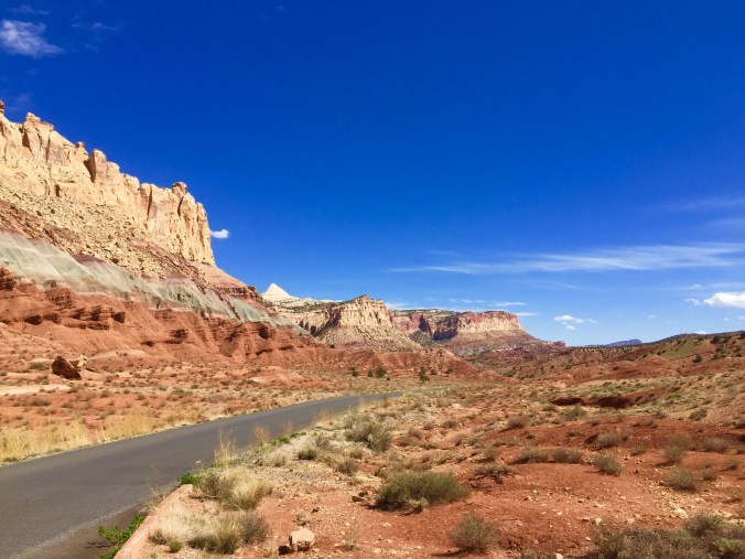
A sneak peek into Capitol Reef National Park
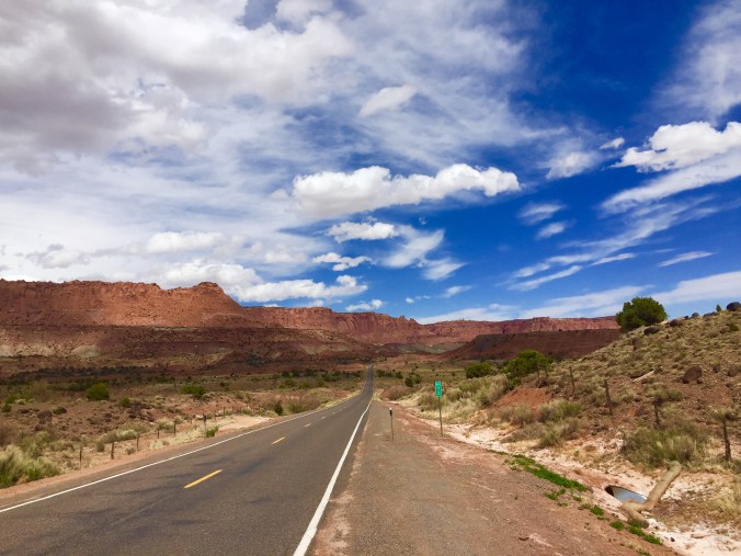
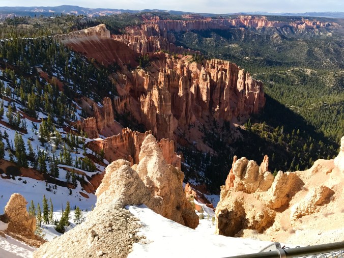
Leaving the Red Rock Overview
The big bonus for us was that this drive would take us to Torrey, when Capitol Reef National Park is just nine miles down Hwy 24. Capital Reef had been on our trip itinerary until is snowed just before we had planned to drive there from New Mexico. So, we were excited to get to see it, even if for a few hours.
Byway 12 could be done in segments using Boulder as a base camp but is also doable as a long day trip where you can just take in the highlights like we did. We got started around 9:30 am, armed with the Byway 12 guide brochure which you could download here as well – Byway 12 guide.
This drive is full of amazing points of interest – 26 to be precise in the guidebook. With all these stops along the way, know you can’t and don’t want to speed through it, because 12 is about time—landscape that has been carved through geologic time, human evidence of historic and archeological times, and wonders that have survived over time until today.
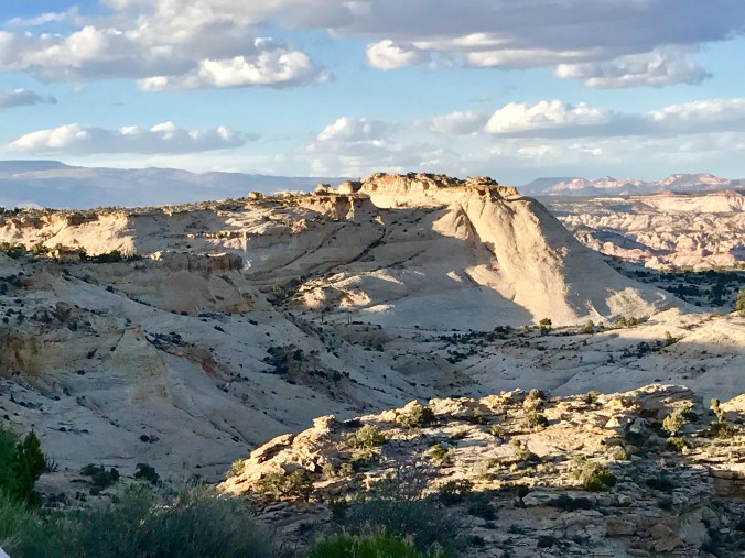
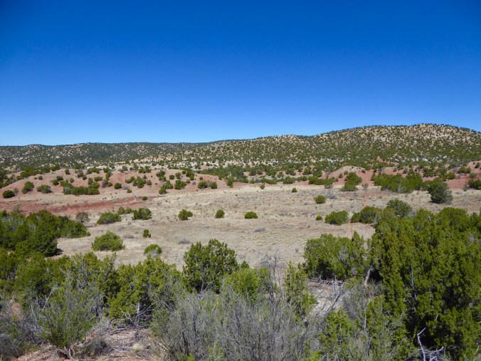
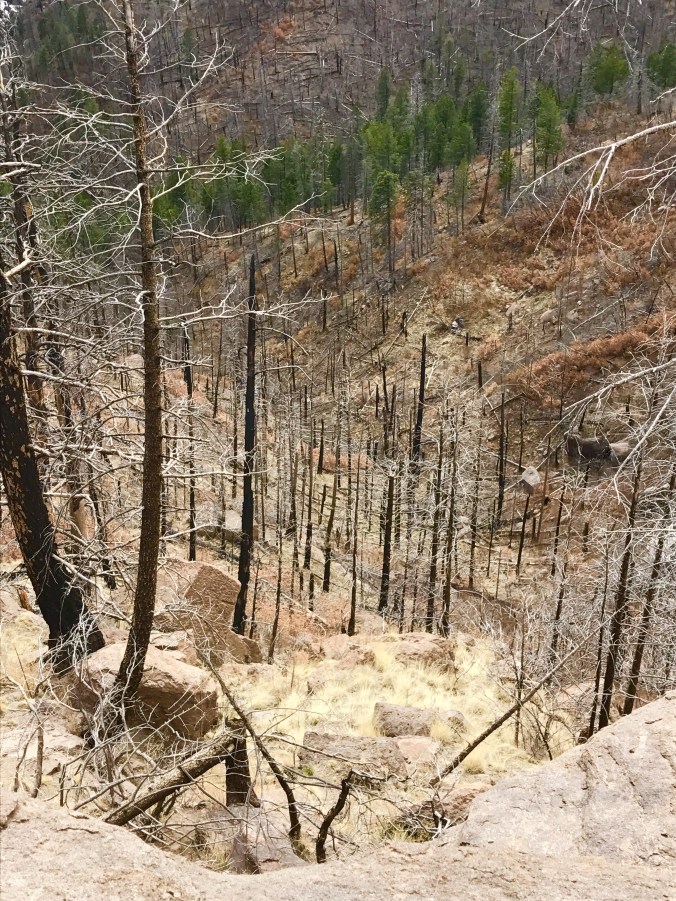
Another example of the crazy diverse terrain just outside of Escalante
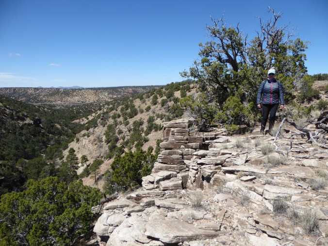
Since we were starting the drive out of Bryce Canyon City our first stop was the Escalante Interagency Visitors Center. The very helpful ranger pointed out some great day hikes for later, gave us another handful of brochures and also informed us that the side drive we wanted to do – Hell’s Backbone Scenic Drive was still covered in snow at the highest elevation. Double Damn, but probably just as well as we certainly couldn’t have done that 44 mile back country drive the same day. I was intrigued by the drive as the construction of Hell’s Backbone Road was completed in 1933 by Civilian Conservation Corps (CCC), allowing vehicle traffic between Escalante and Boulder for the first time. The 12 byway didn’t exist either so getting around in this part of Utah was limited to horse or wagon. Hell’s Backbone Bridge, a photographers dream, allows travelers to pass above Sand Creek with views of the spectacular Box-Death Hollow Wilderness Area. Well, another time when the snow has melted.
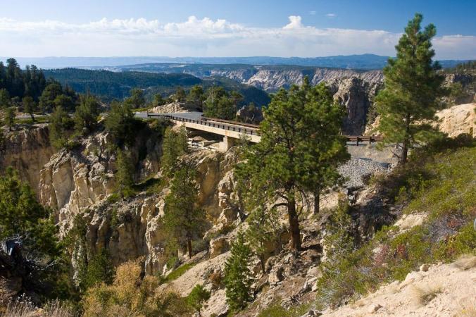
Hell’s Backbone Bridge

Hogsback portion of Byway 12
Stopping to take in all the viewpoints and the breath taking scenery, was working up an appetite and I was excited about our lunch stop – Hell’s Backbone Grill. With a name like that I bet you are envisioning a quintessential biker bar with pools table and Budweiser on tap. No so much – This charming restaurant sits on the grounds of the Boulder Mountain Lodge and is a true farm to table restaurant.
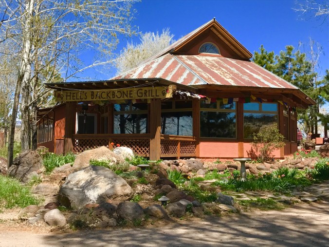
Charming isn’t it?
Jen Castle and Blake Spalding are chef-owners of this highly acclaimed and award-winning restaurant, operate their restaurant following Buddhist principles, with a commitment to sustainability, environmental ethics, and social and community responsibility. They serve organic, locally produced, regionally and seasonally appropriate cuisine, growing many of their own vegetables and fruits organically in the restaurant’s two gardens and on their six-acre farm. They feature dishes made with fruit from Boulder’s heirloom orchards and rely largely on local ranchers for the grass-fed and -finished meat they serve.

The grounds around the Restaurant and Inn are just beautiful in the spring
Okay, Hell’s Backbone Grill is my kind of restaurant and to find it in one of the most remote towns in the US, Boulder Utah, population 180 was just karma I figure. We both really enjoyed our meals and lingered over dessert. Their cookbook, “With a Measure of Grace” is filled with tempting recipes and the beautiful story of how the chef-owners have created a place for their restaurant in community very unlikely to embrace outsiders, made its way home with me.

Backbone BLT – applewood smoked bacon, organic romaine, sun dried tomato spread on the house-made sage flatbread with a small mixed green salad – SOOO good!
After a very satisfying lunch and stroll around the grounds at the Boulder Mountain Lodge, we had to get back on the road since we were really only halfway through the drive. It would have been easy to linger all day or just stay for a while. If your tempted, here are a a few links to check out – Hells’ Backbone Grill and Boulder Mountain Lodge

The next portion of the drive took us up, up, up Boulder Mountain through an alpine forest to over 9,000 feet. Groves of aspen trees mixed with the alpine pines creating an ever changing vista. The fall colors on this portion of the drive would be amazing, so think about that when your plan your trip! Just don’t wait to late as the restaurant in Boulder closes for the season in October!

These groves of Aspen will paint a stunning fall foliage picture
As breathtaking views of the rugged, rainbow-hued landscape stretching out below. The mountain was first plotted on an 1872 map by Almon Thompson, the cartographer with the John Wesley Powell Survey. However, the area was already well known to various Native American people, who left behind evidence that they lived and thrived in the pristine hills and hollows. Rugged and remote, this area of Utah would have been a hard and unforgiving place to settle.
This picture was with digital zoom and turned out like a watercolor – kinda cool for a bad photo!
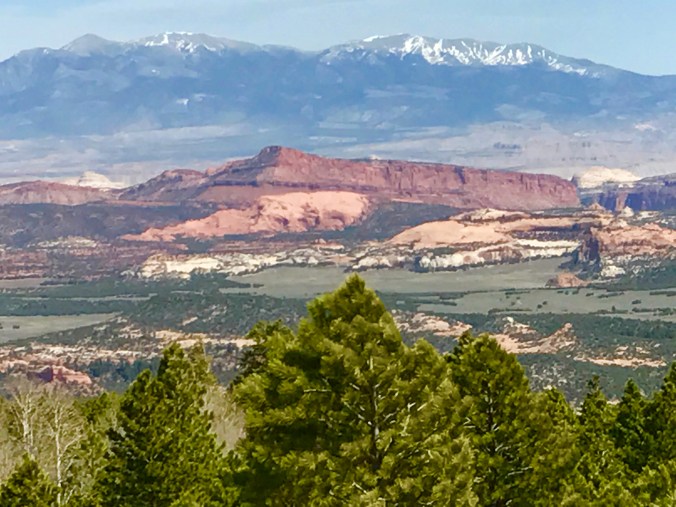
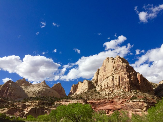
Of course we stopped at every scenic overlook, but when we arrived at Torrey we didn’t linger but just continued on to Capitol Reef National Park. Very different from the spirals at Bryce Canyon, the words massive, huge, and towering came to mind as we drove into Capital Reef.

Gooseneck Overlook
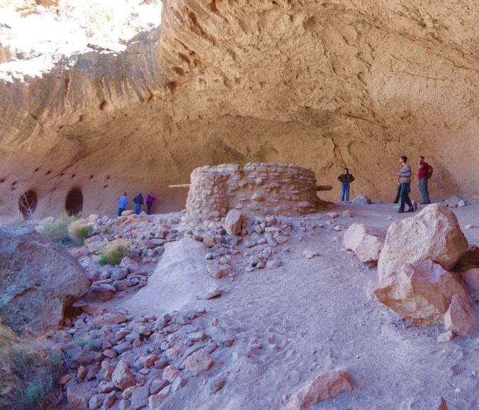
The signature feature of Capitol Reef National Park is the Waterpocket Fold, a 100-mile-long monocline, or fold, in the Earth’s crust that towers as much as 2,000 feet above its eastern base. There is much to do and see here in this quarter million acre park. And all we really had time to do was drive through. Along the Fremont River, there are ancient pictographs and petroglyphs painted or carved into the sandstone by some of the area’s early native inhabitants hundreds of years ago.

Can you just see how the massive plates of earth were pushed up
More recently, 19th-century settlers colonized a village they called Fruita, named for the fruit orchards they established under the crimson and cream-colored Wingate and Navajo sandstone cliffs. Visitors today still enjoy the “fruits” of those efforts during summer and fall when they pick and sample the harvest of peaches, apricots, plums, pears, and apples. The old Fruita Schoolhouse and Historic Gifford Homestead, pioneer dwellings that provide a glimpse of 19th-century Utah farm life, are located along Highway 24 near the park campground. For more info check out this link – Gifford Homestead.
Among the park’s sights are the Chimney Rock pillar, the Hickman Bridge arch, and Capitol Reef, known for its white sandstone domes. In the north are the towering monoliths of Cathedral Valley. The cool thing about Capital Reef National Park is that you are able to just drive through and into many of the towering canyons where some great trail heads start.
One of the sandstone domes

This is hiking and backpacking paradise
There is no entrance gate and fees are paid on the honor system at the small visitors center. I suspect that this incredible park gets a fraction of the visitors that the other more well known Utah parks get. The funding for the park is obviously less but the park staff and volunteers are clearly proud of their park. I would love to come back here and do more exploration in a season that isn’t marginal and plagued by late snow storms.
You can learn more about the park by visiting the National Park website – Capitol Reef National Park.
Since we had Mr. Bentley in the car and it was actually really warm in some of the canyons, we only did some short walks. Soon it was time to hit the dusty trail back and we choose just to retrace our path back along Byway 12 instead of taking a longer loop.
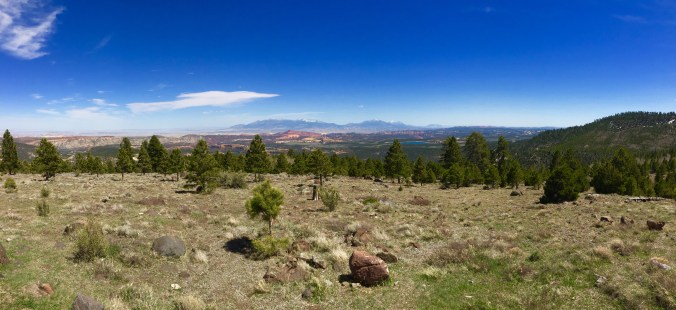
Boulder Mountain high plateau
It was truly just as beautiful on the return, seeing things from a different perspective made the trip back really as enjoyable. Luck was with us and we did see three adolescent elk near Boulder Mountain on the return drive. No great photos of them to share, so really you do need to add this drive to your bucket list and see them for yourself.